
Real-time information on water levels is monitored by Florida’s water management districts and the U.S. Geological Survey. The following links are meant as an aid to figuring out just how deep water levels might be on a particular section of the Florida Trail. Some of the monitoring websites show colors next to the data (red means danger, green means normal) and others show charts comparing against normal flows.
El Niño is the cause of unseasonable damp weather in winter: Florida is normally very dry during the winter months. Learn about El Niño from NOAA.
Overviews
Florida at a glance
Suwannee River at a glance
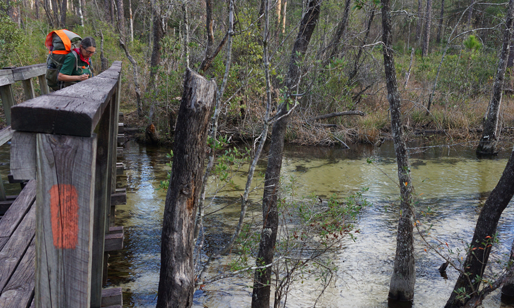
The following waypoints, mileage markers, and links to hydrological data are from the Guthook Guides Florida National Scenic Trail App and used with permission from FloridaHikes.com.
Big Cypress
To get a handle on water depths in Big Cypress, it’s worth looking at the volume of controlled outflow passing under US 41 from the canal along the highway, and compare it to the historic data on the graphs. This one is to the WEST of Oasis and this one is to the EAST. The Eden 6 gauge is part of the Everglades Depth Information Network and lies NE of the swampiest portion of the Florida Trail north of mile 22. Water flow in Big Cypress flows NE to SW.
Mile by mile along the Florida Trail
[tbl]
Mile, Trail Section, Location
40.2, Seminole, West Feeder Canal
91.1, Seminole, Miami Canal
123.9, Okeechobee West, Fisheating Creek (Lakeport)
173.5, Kissimmee, Chandler Slough
186.9, Kissimmee, Starvation Slough
273.0,Orlando,Bull Creek (Forever Florida)
289.0,Orlando,Jane Green Creek/Yoke Branch
298.2,Orlando,Pennywash Creek (Deseret)
300.7,Orlando,Wolf Creek (Deseret)
314.6, Orlando, Taylor Creek (Deseret)
322.3, Orlando, Tosohatchee
332.8, Orlando, Seminole Ranch
354.5, Orlando, Little Big Econ
523.2,Northeast Florida,Camp Blanding (Alligator Creek)
543.9,Northeast Florida,Sampson River
551.1,Northeast Florida,New River/Lake Butler
[/tbl]
The Suwannee River can rise extremely quickly even when there is no rain in Florida, since rains across the Okefenokee Swamp in Georgia feed this river. Because the Florida Trail along the Suwannee dips in and out of some deep floodplain channels, the trail starts to submerge before the river’s actual flood stage is hit. Here’s a rule-of-thumb provided by longtime FTA section leader Ed Wolcott, based on the river level gauge for White Springs:
60 feet: Water starts to appear on the trail between White Springs and Sal Marie Branch, and near Holton Creek.
65 feet: Some bypassing of flooded areas is necessary unless you like to swim.
68 feet: Much of the Florida Trail is under water. It’s not worth trying to hike this section when the river is at 68 feet.
73 feet: Water management district flood stage. ALL of the trail is under water, and access roads are flooded.
For additional info on the Suwannee, Alapaha, Withlacoochee, and Aucilla Rivers, see the Suwannee River Water Management District Realtime River Levels page or call 386-362-1001.
[tbl]
Mile, Trail Section, Location
611.2,Suwannee,Big Shoals
615.8, Suwannee, White Springs
639.1,Suwannee,Suwannee Springs
654.1, Suwannee, Gibson Park
664.0, Suwannee, Withlacoochee River
665.8, Suwannee, Ellaville
677.5,Suwannee,Dowling Park
735.0, Big Bend, Aucilla River and Sinks
766.8, Big Bend, St. Marks River
775.1, Big Bend, Wakulla River
802.2, Apalachicola, Sopchoppy River
824.2, Apalachicola, Ochlockonee River (Porter Lake)
837.0, Apalachicola, Sapling Head Swamp (New River basin)
849.9, Apalachicola, Shuler Bay (Telogia Creek basin)
872.1, Apalachicola, Apalachicola River (Bristol/Blountstown)
884.4, Central Panhandle, Altha Trail
912.6,Central Panhandle,Econfina Creek
942.3, Central Panhandle, Choctawhatchee River (Ebro/Bruce)
952.0,Central Panhandle,Seven Runs (Bruce Creek)
979.0, Eglin,Alaqua Creek
1017.7, Eglin, Shoal River (Eglin tributaries feed it)
1043.3, Eglin, Yellow River Ravines
1057.7, Eglin, Yellow River trailhead
[/tbl]
Blackwater
[tbl]
Mile, Trail Section, Location
1049.1, Blackwater, Blackwater River
[/tbl]
Western Corridor
[tbl]
Mile, Trail Section, Location
356.4, Green Swamp East, Withlacoochee River
368.4, Croom, Cypress Lakes Preserve/Croom Silver Lake
[/tbl]